 |
- Master and Zoning settlements plans developing
- Land management projects regarding to definition & changing the settlements boundaries developing
- Regions, districts, urban, village and town councils (including united communities)
territories layout developing
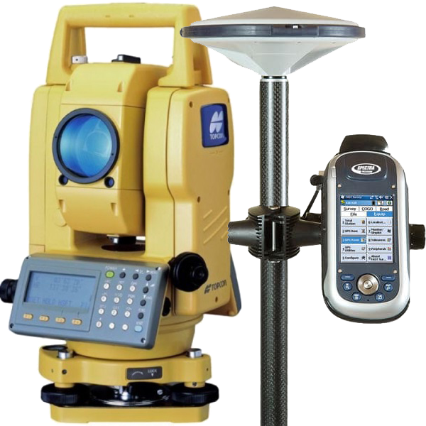
- Topographic survey zooming scale 1:500, scale 1:2000
- Cadastral surveys
- Landscape surveys scale 1:100, scale 1:200
- Underground & elevated communications survey
- Runway leveling & level marking
- Land boundaries localization
- Cadastral number's registration
- Each-tree survey
- Building's consctruction management
- Our prices are all available
|

